

- Messages
- 45,389
- Reaction score
- 7,671
- Points
- 288
What we can learn from the ancient art of wayfinding
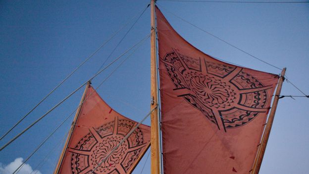
The way Pacific Islanders used to navigate using only cues found in the environment may seem irrelevant today. But natural navigation still holds surprising lessons.On 1 May 1976, a large crowd gathered at Honolua Bay on Maui's northwestern shore. There was moored the newly built Hokule'a – a handsome replica of the voyaging canoes from days gone by.
The air was heavy with anticipation. After close to a decade of careful planning, the Polynesian Voyaging Society (PVS) was about to launch Hokule'a on her first long voyage. But there was also a sense of nervous excitement: the crew was to forgo modern navigational instruments and instead rely on the traditional wayfinding techniques of their forefathers to guide them to Tahiti, some 2,400 miles (3,862km) away. Could they pull it off?
Wayfinding – the art of navigating using the wind, stars, ocean swells, and other environmental cues – was how sailors from the Marquesas Islands first discovered Hawaii more than 1,500 years ago. Over time, however, wayfinding all but vanished throughout the Pacific, in large part because colonial powers banned canoe travel or forced compasses and other navigational tools onto their subjects. By the time the Hokule'a was seaworthy, it had been over 600 years since Hawaiians regularly practised wayfinding.
More:
What we can learn from the ancient art of wayfinding
The way Pacific Islanders used to navigate using only cues found in the environment may seem irrelevant today. But natural navigation still holds surprising lessons.
 www.bbc.com